Geostationary Operational Environmental Satellite (GOES)
The Geostationary Operational Environmental Satellite system (GOES) are a series of geosynchronous satellites operated by the United States’ National Oceanic and Atmospheric Administration. The GOES system provides us with solar imagery, magnetometer data, solar X-ray data and data on high energy solar protons at Earth. Below you will find solar imagery at a multitude of wavelengths from a number of different GOES missions.
GOES-19 CCOR-1
The Compact Coronagraph-1 (CCOR-1) instrument on board of GOES-19, will image the Sun in the visible wavelength range from 480nm to 730nm. In order to image the much fainter corona, the CCOR-1 instrument will use an occulting disk to block the light originating from the much brighter photosphere of the Sun. As a result, the field of view for CCOR-1 will span from 3.7 solar radii out to 17 solar radii with a spatial resolution of ~50 arcseconds.
GOES-19
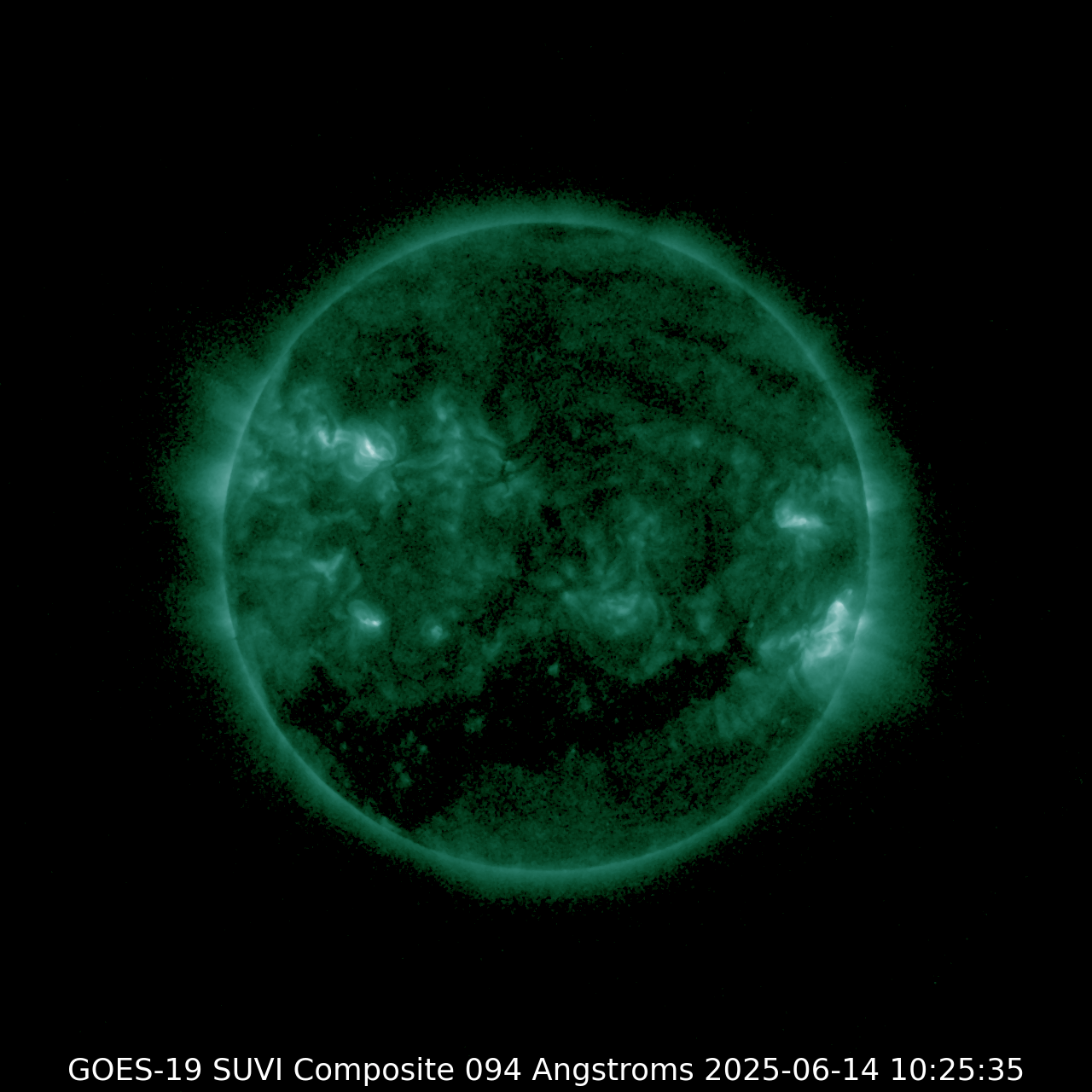
SUVI 094
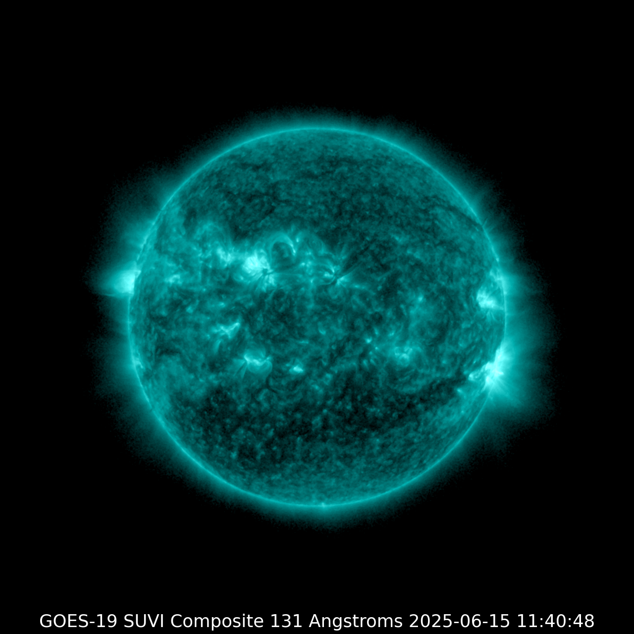
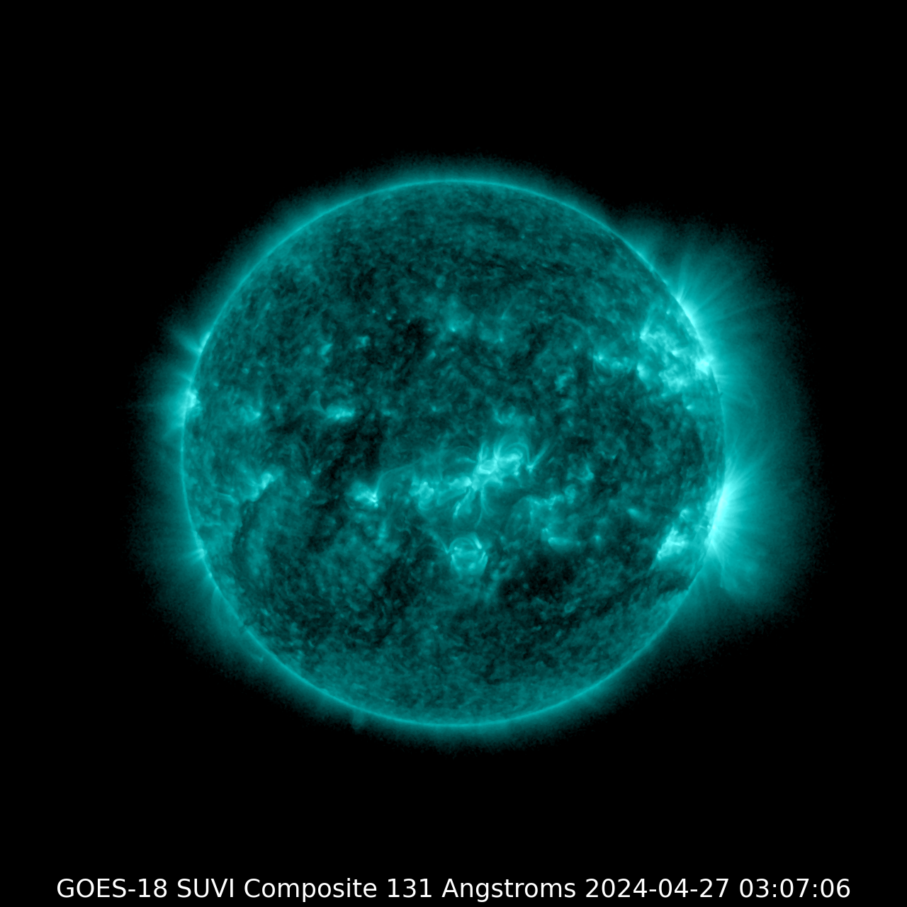
| SUVI 131
|
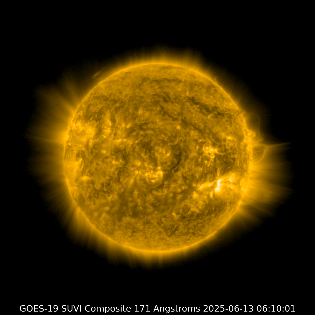
SUVI 171
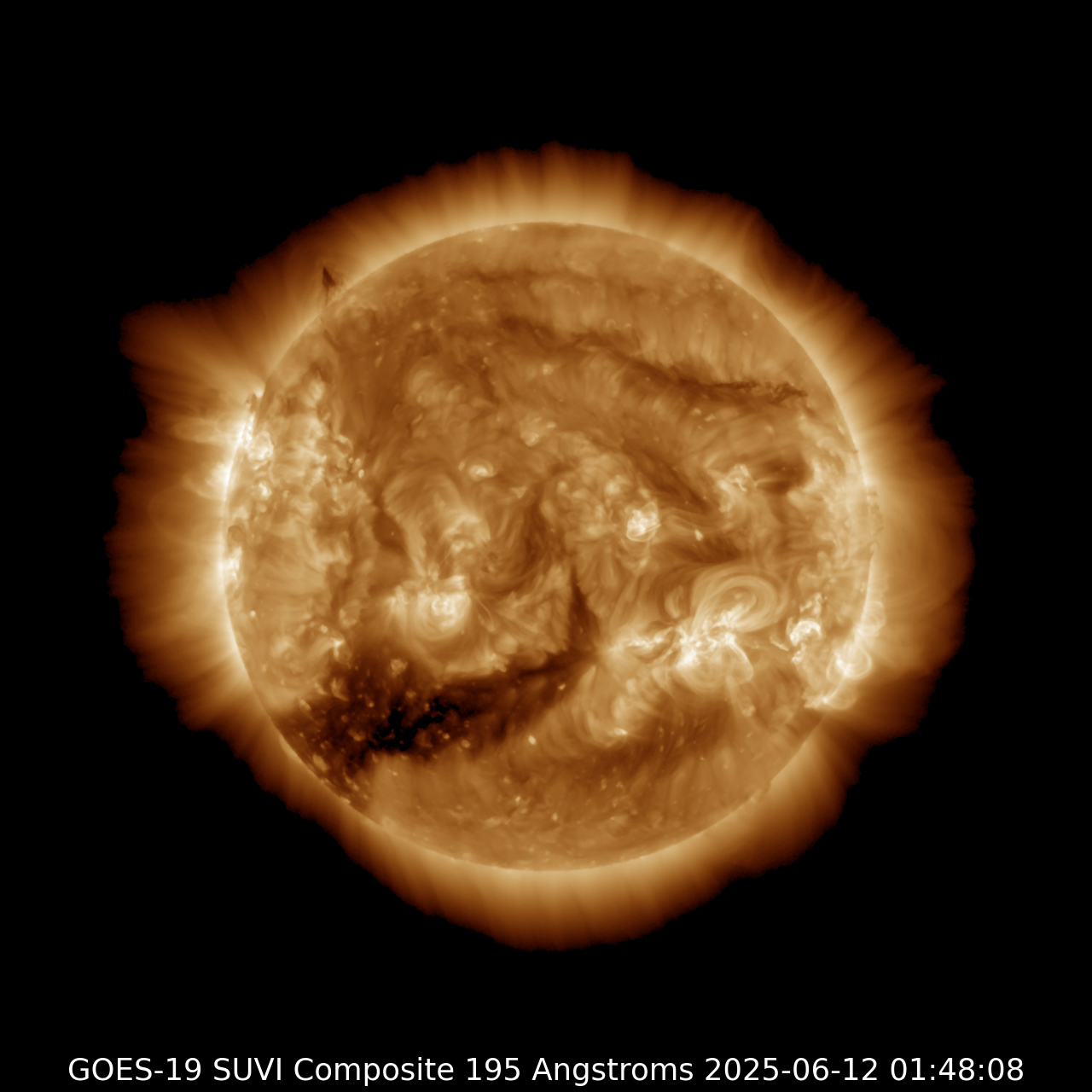
| SUVI 195
|
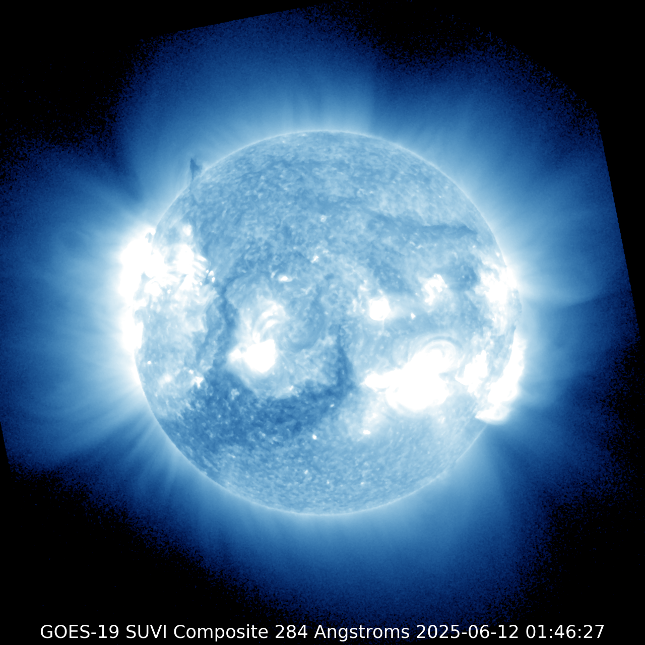
SUVI 284
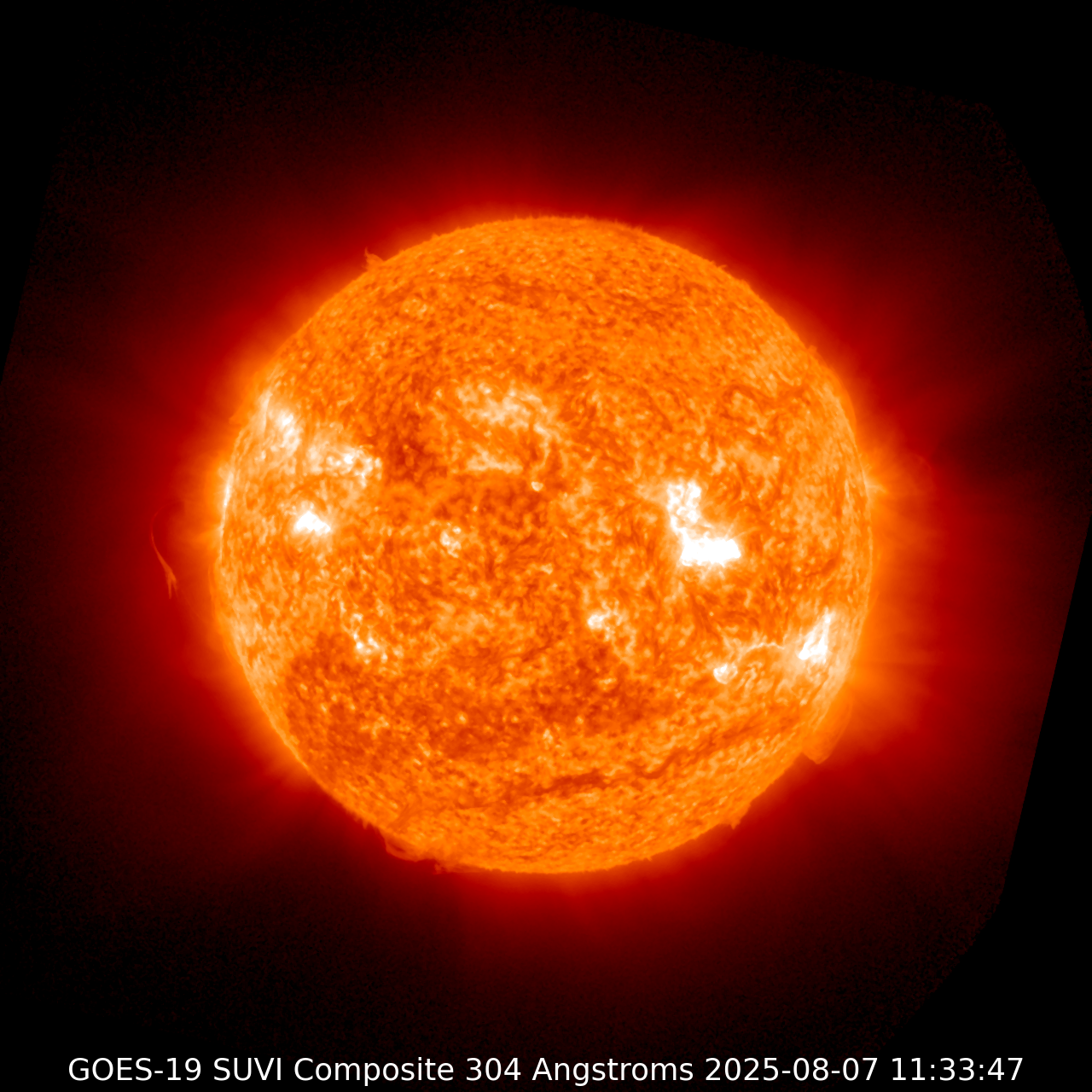
| SUVI 304
|
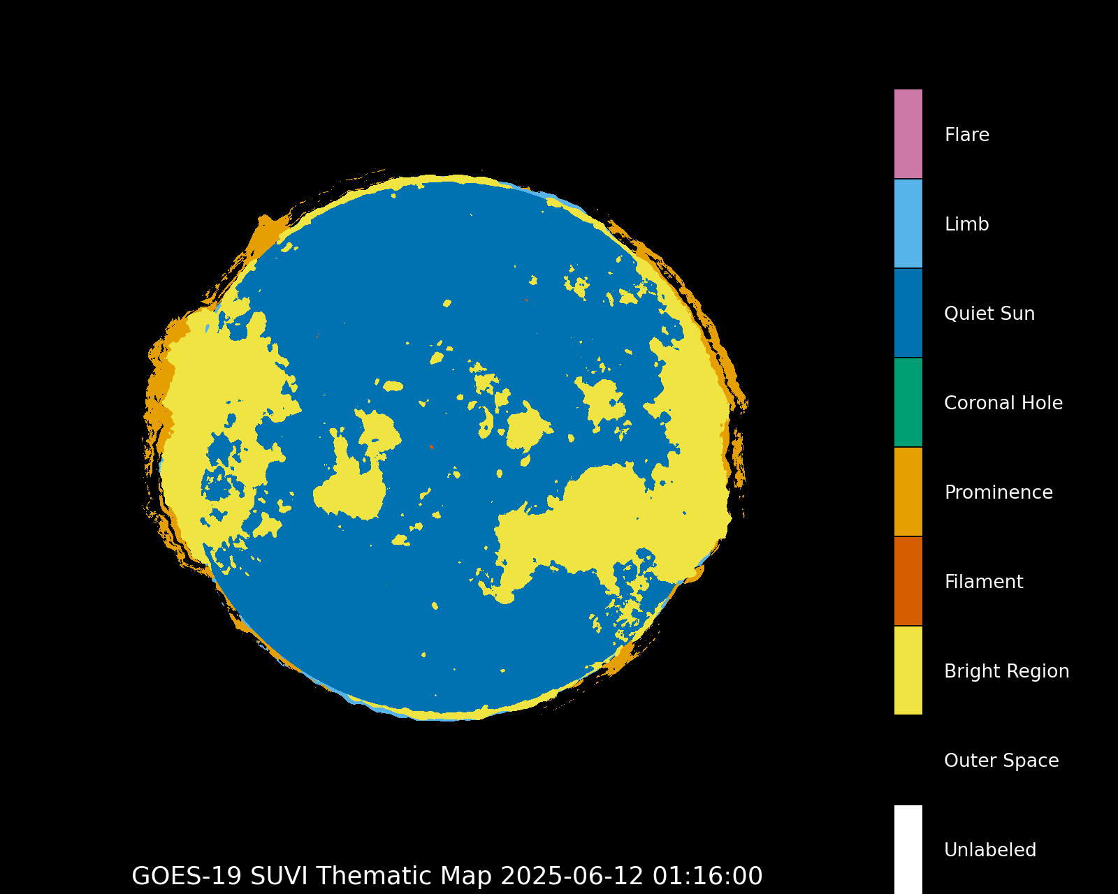
Thematic map
|
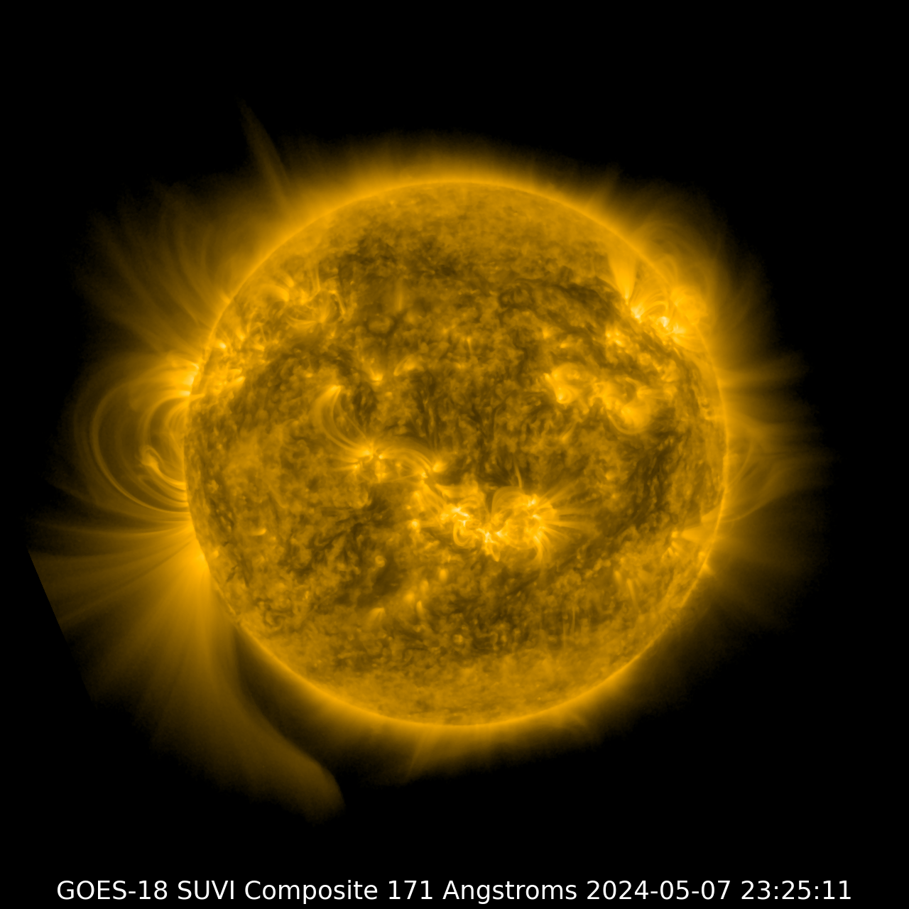
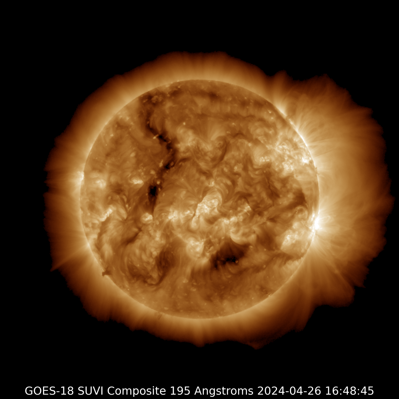
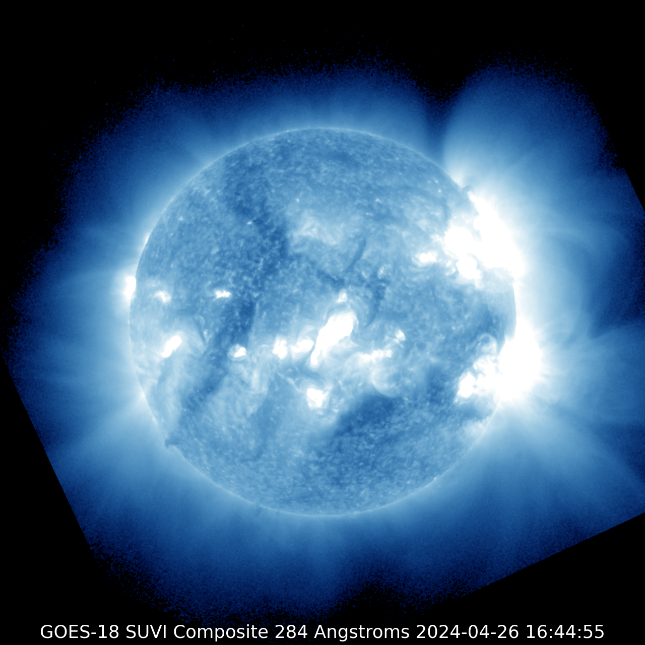
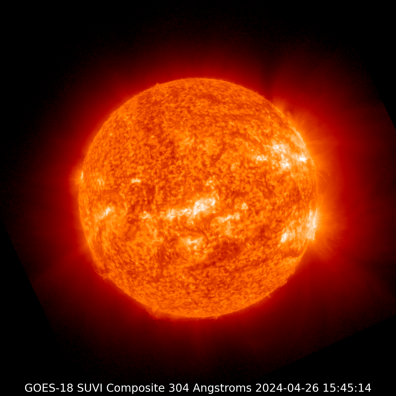
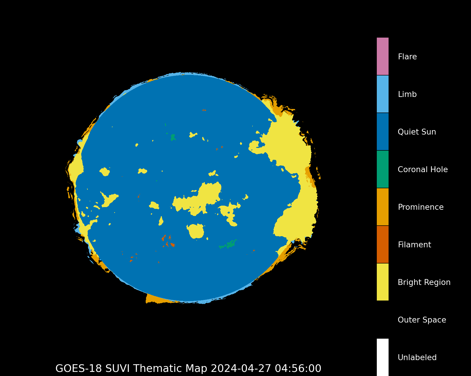
GOES-18
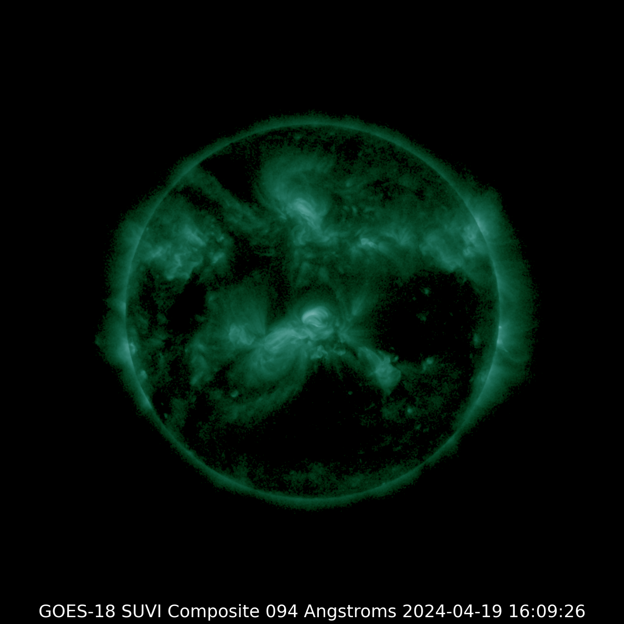
SUVI 094
| SUVI 131
|
SUVI 171
| SUVI 195
|
SUVI 284
| SUVI 304
|
Thematic map
|
Latest news
G3 geomagnetic storm watch for 4 and 5 June
Coronal hole faces Earth

X1.5 solar flare
Latest forum messages
Support SpaceWeatherLive.com!
A lot of people come to SpaceWeatherLive to follow the Solar activity or if there is a chance to see the aurora, but with more traffic comes higher costs to keep the servers online. If you like SpaceWeatherLive and want to support the project you can choose a subscription for an ad-free site or consider a donation. With your help we can keep SpaceWeatherLive online!


Space weather facts
| Last X-flare | 2026/06/03 | X1.0 |
| Last M-flare | 2026/06/21 | M6.9 |
| Last geomagnetic storm | 2026/06/11 | Kp5 (G1) |
| Spotless days | |
|---|---|
| Last 365 days | 3 days |
| 2026 | 3 days (2%) |
| Last spotless day | 2026/02/24 |
| Monthly mean Sunspot Number | |
|---|---|
| May 2026 | 101.4 +22.1 |
| June 2026 | 97.5 -3.9 |
| Last 30 days | 107.9 +10.3 |